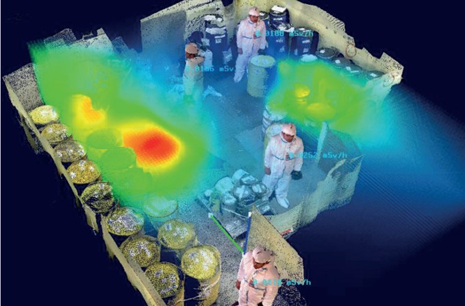
Radiological Mapping and Integrated Radiation Protection
<table><tbody><tr><th></th></tr><tr><td>Optimise your operations with our innovative solutions for accurate mapping and on-site radiation protection </td></tr></tbody></table>
-
- Accurately identify risk areas to guide your intervention plans
- Reduce team’s exposure by securing active zones
- Access reliable topographical and radiological data in real time
- Ensure the traceability and geolocation of measurements across your sites
- Adapt radiation protection measures to the actual conditions of your facilities
- Enhance performance through a proactive approach to safety
-
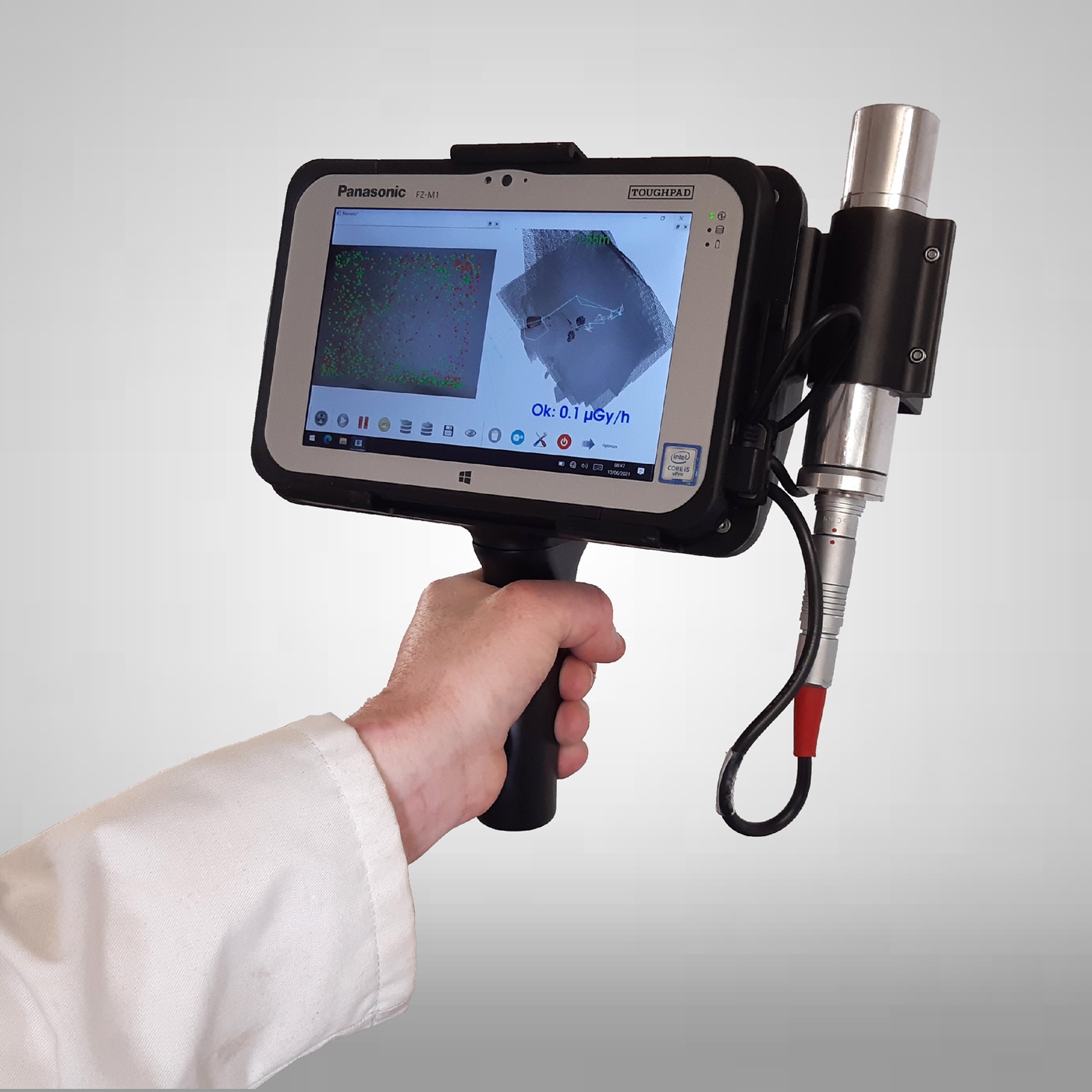
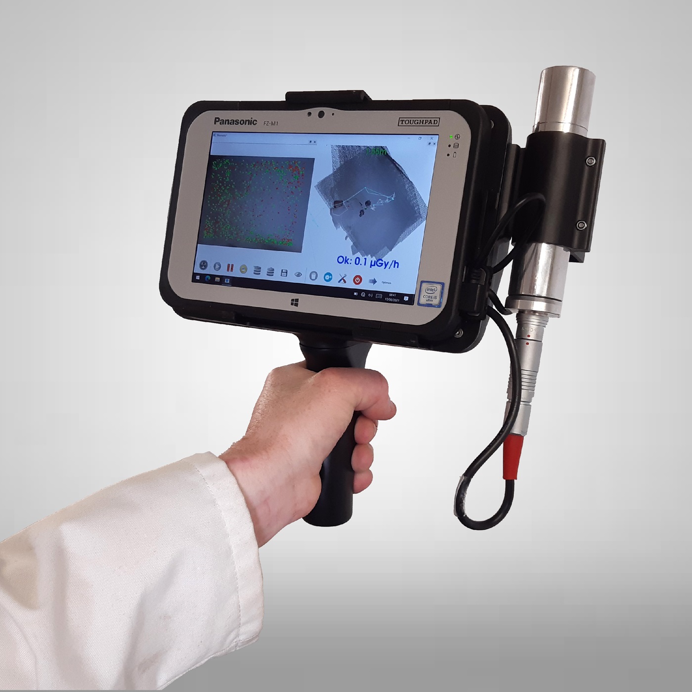
- Obtain accurate 3D mapping of risk areas thanks to Manuela
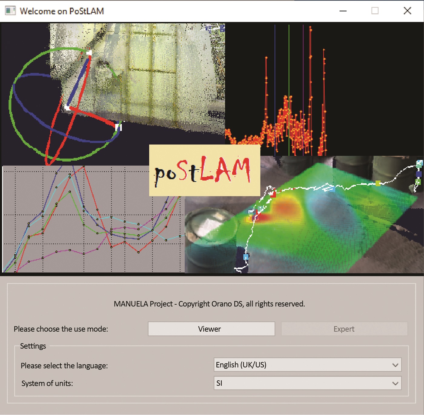
- Process and visualise your radiological and topographical data using PoStLAM
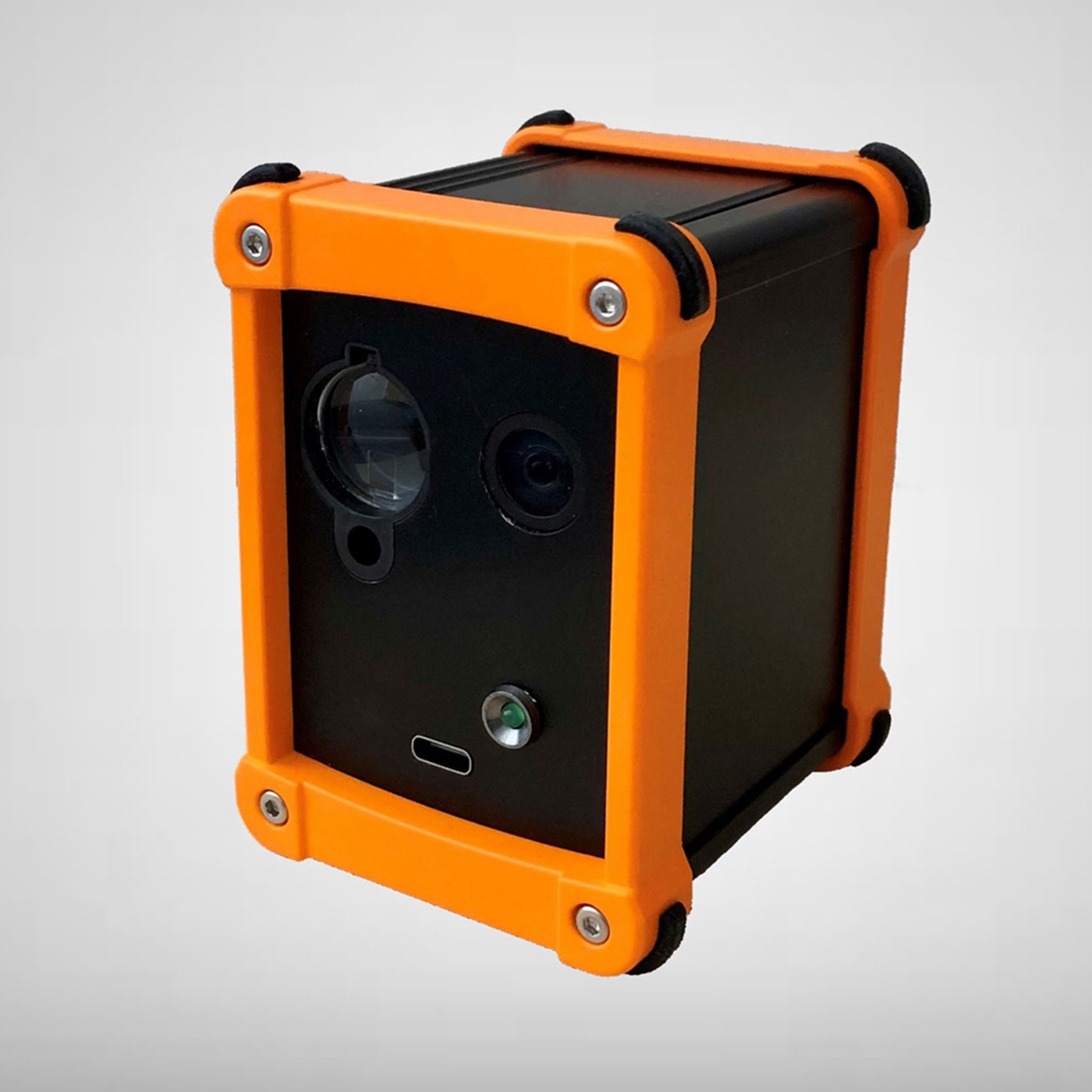
- Overlay AR meshes on your field operations to guide your teams with MARA
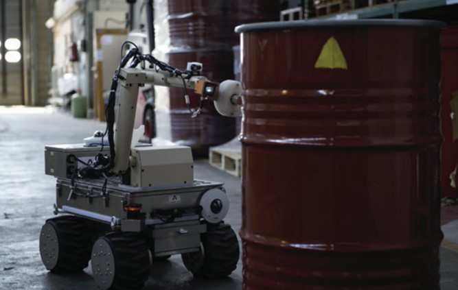
- Automatically map your contenants in confined environments with RIANA SC, our dedicated robot
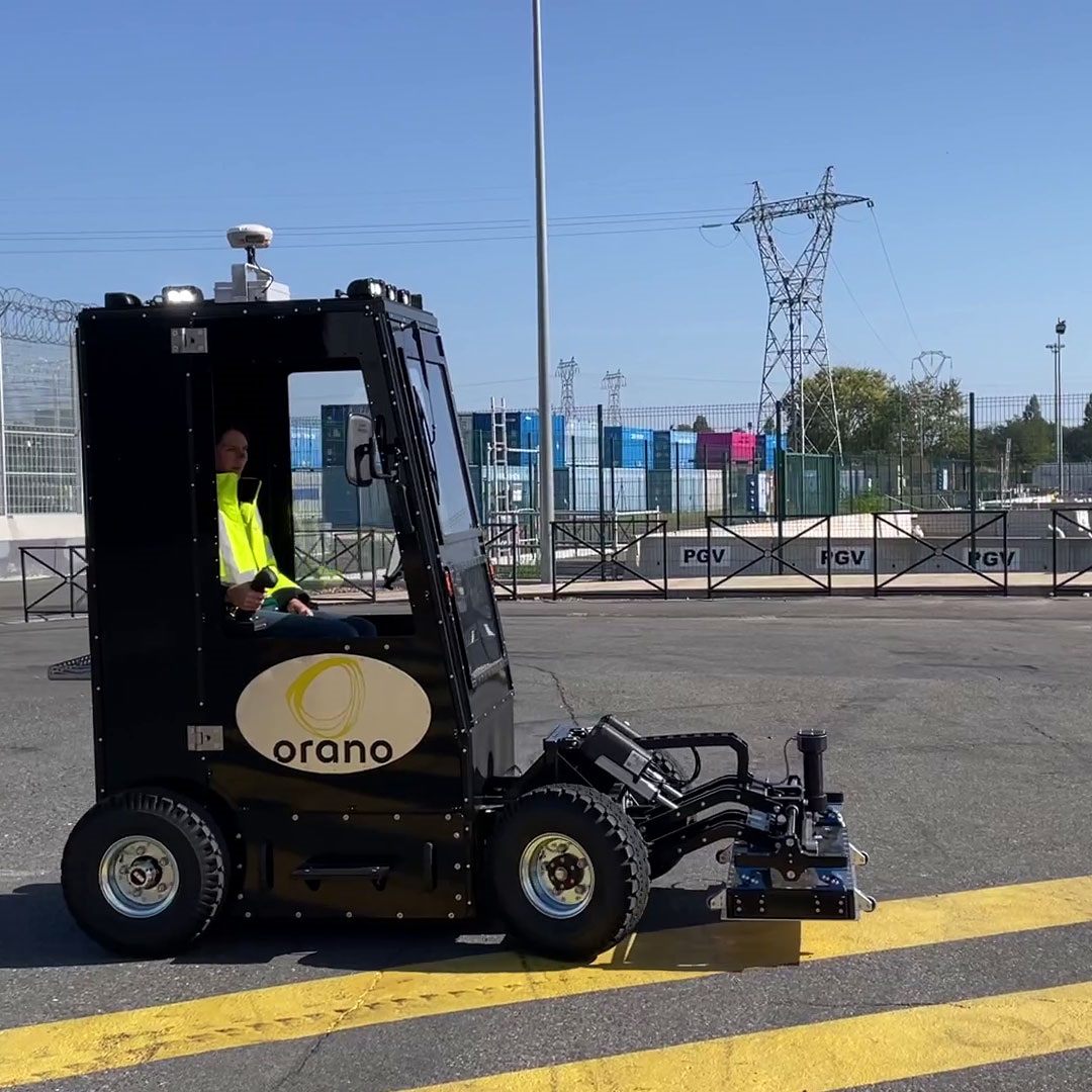
- Optimise site management with e-ROCS, delivering reliable geolocation of data across your intervention zones
-
- 5 dedicated solutions: Manuela, PoStLAM, MARA, RIANA SC, and eROCS
- Multi-source mapping: radiological, topographical, real-time, and robotic
- Geolocated precision to guide, protect, and track your interventions
- Designed for confined areas: containers, buildings, worksites, pools
- Field integration: solutions operable directly by your on-site teams
- Enhanced safety: reduction of doses and optimisation of protection measures
-
-

